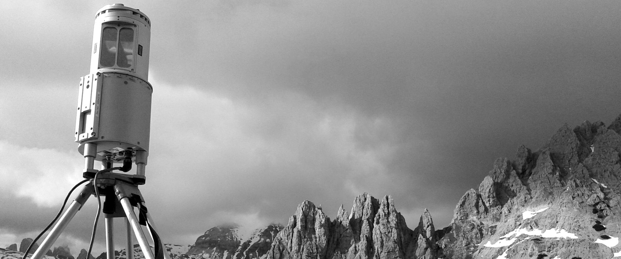
MAPANDO® provides surveys services with laser-scanner technology for specific market sectors:
• Rock cliffs and slopes in landslide
• Quarries and mines
• Roads and tunnels
• Bathymetry of lakes and rivers
• Archaeological and Cultural Heritage
MAPANDO® work with this tools:
• Laser Scanner LMS-Z420i Riegel
• Laser Scanner Z + F 5006h
• Total Station Trimble 3603 DR
• Trimble 5700 GPS Model
• GPS Model Aschtech Locus
• Optical Level with precision 30x
• Drone Lehemann L-200 c / software and PC control
• Multibeam echosounder R2 Sonic 2022
